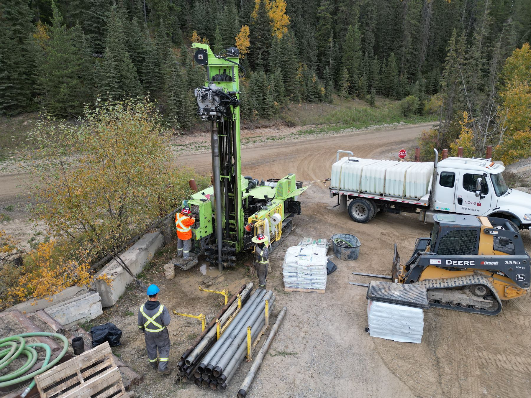
01 Explore
Find the gravel and prove it before anyone opens a pit.
- Desktop gravel source assessments
- Test pitting and drilling programs
- Sampling and gradation testing
- Pre-disturbance soil assessments
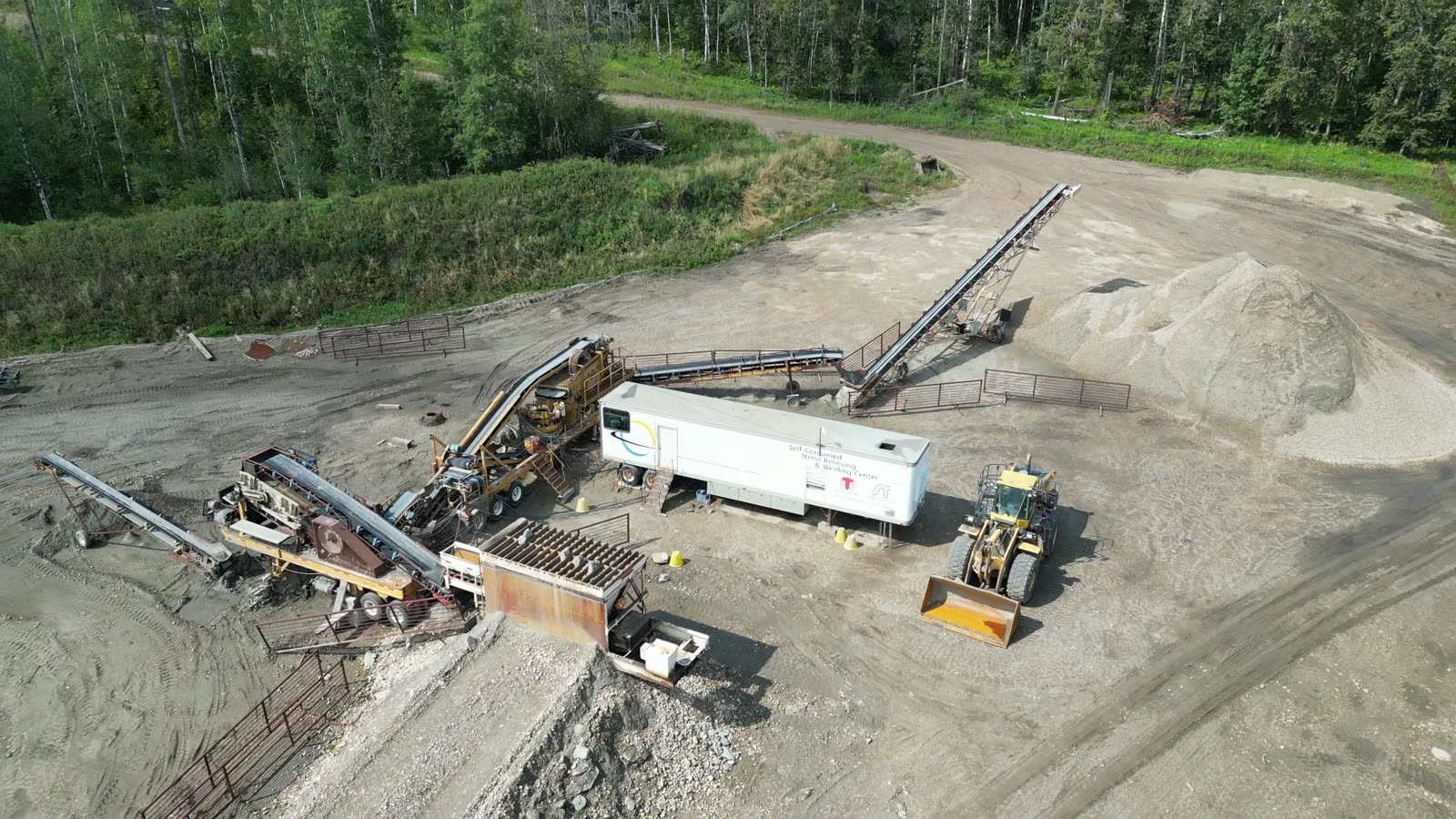
Aggregate & soil specialists / Alberta
We test, permit, monitor and reclaim gravel pits for Alberta municipalities and private operators. The same team stays with your site the whole way through, so you're never explaining it to someone new.
Qualified & certified


 SECORCertified
ACSAAlberta Construction Safety
ComplyWorksRegistered contractor
WCB-ABIn good standing
Full life cycle
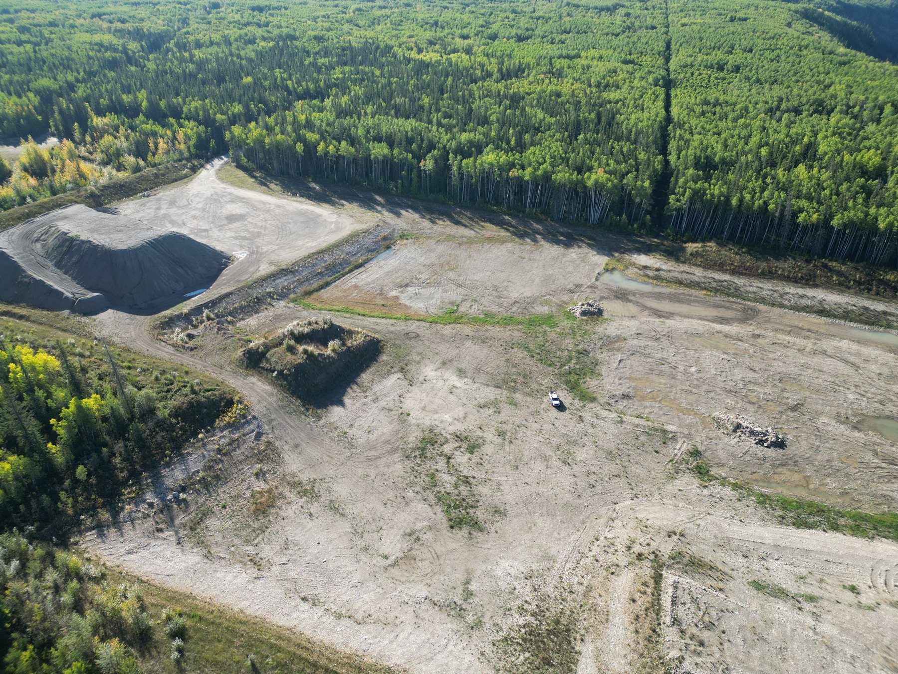
A gravel pit can run for decades and change hands more than once. We work at every stage, so the data from day one is still there when it's time to close.
01 Explore
Find the gravel and prove it before anyone opens a pit.
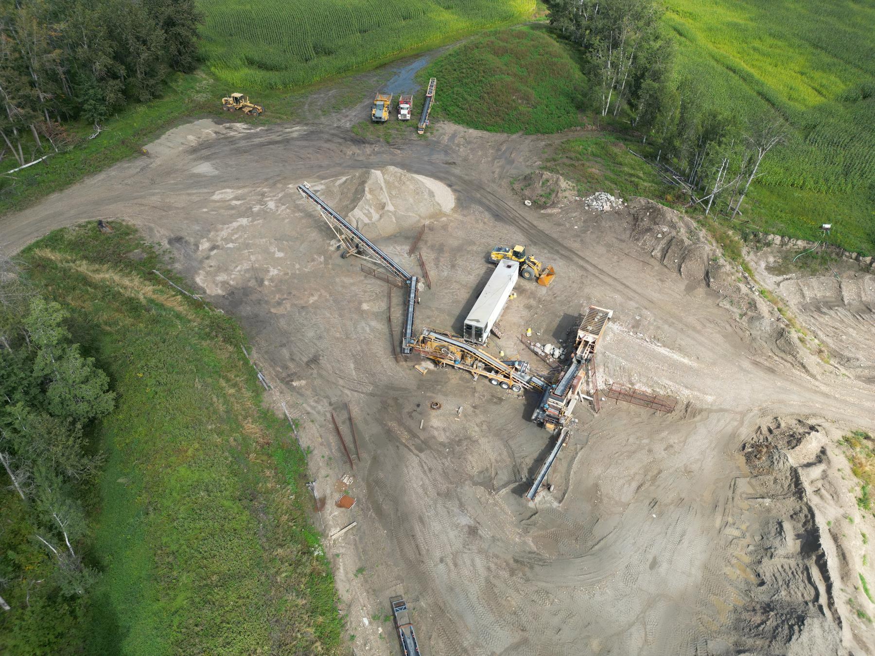
02 Permit
Applications backed by solid field data, which means fewer rounds of questions from the regulator.
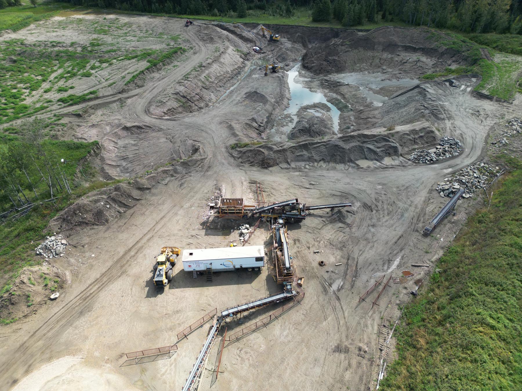
03 Operate
Keep the pit compliant while it's working, and handle the approvals when it grows.
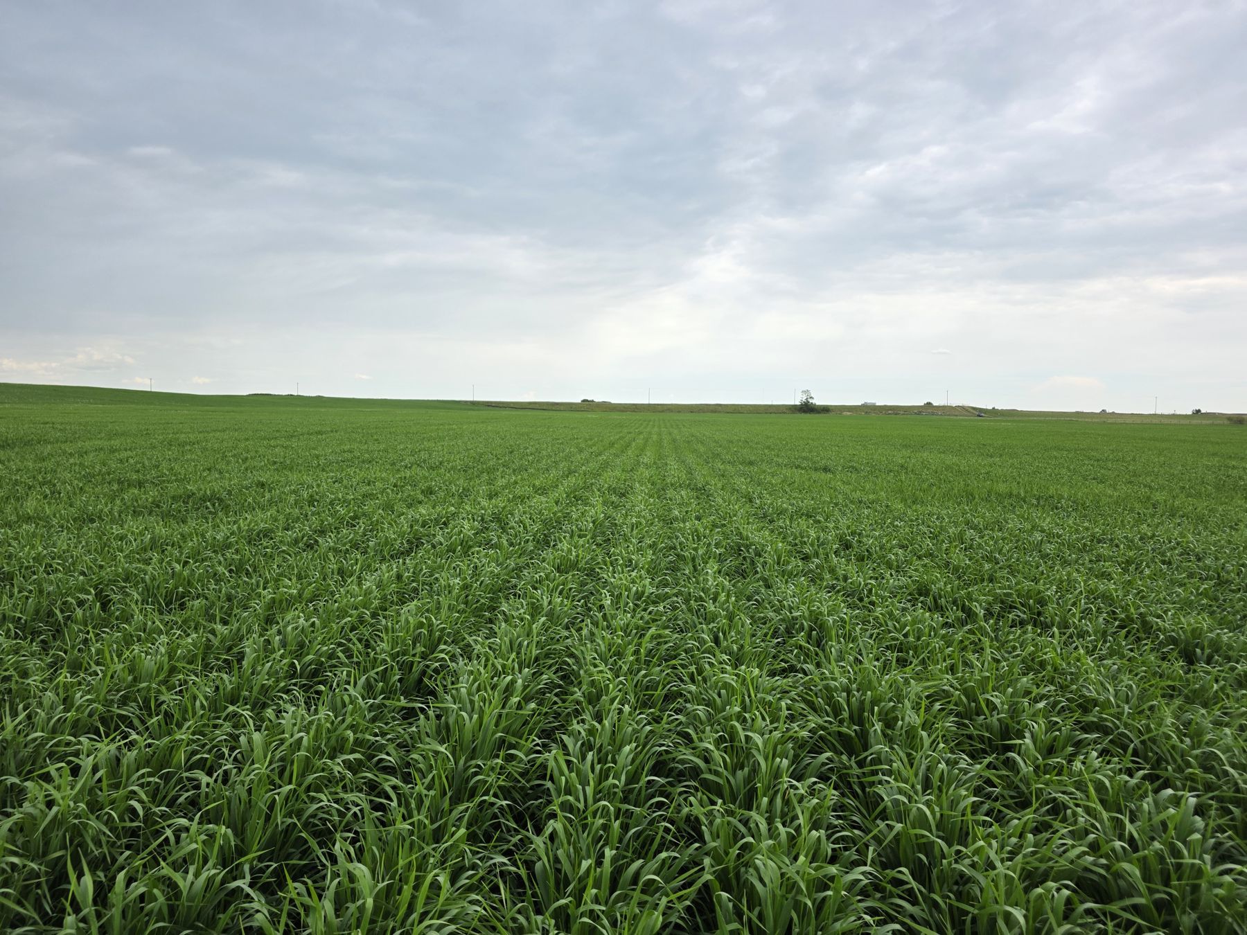
04 Reclaim
Put the right soil back at the right depth.
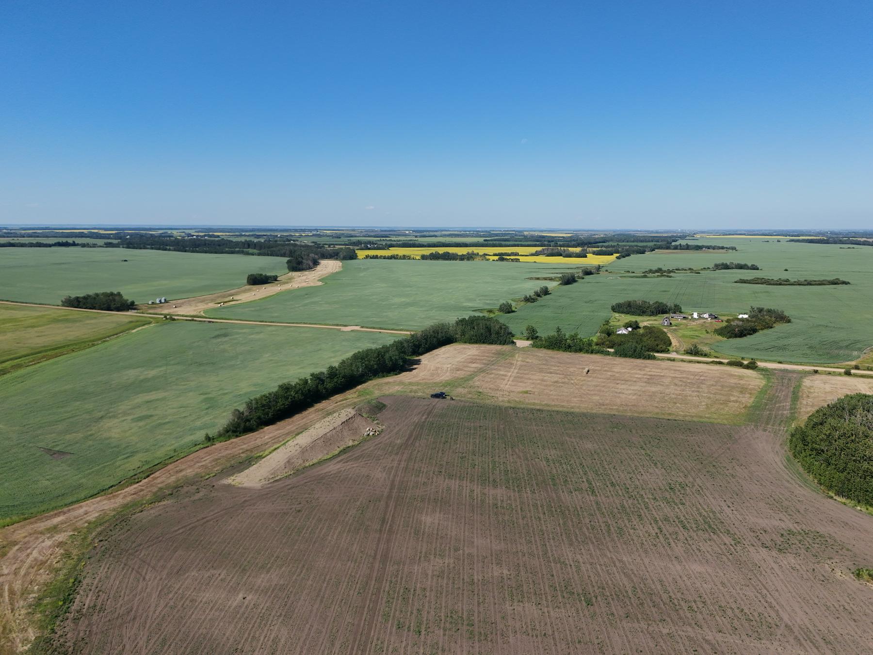
05 Certify
Close the site out and get the certificate.
The soil, the water, the neighbours and what the land goes back to are different every time. We plan around the site in front of us and adjust as the pit changes.
Careful soil handling and progressive reclamation keep liability down and get land back into production sooner.
Services
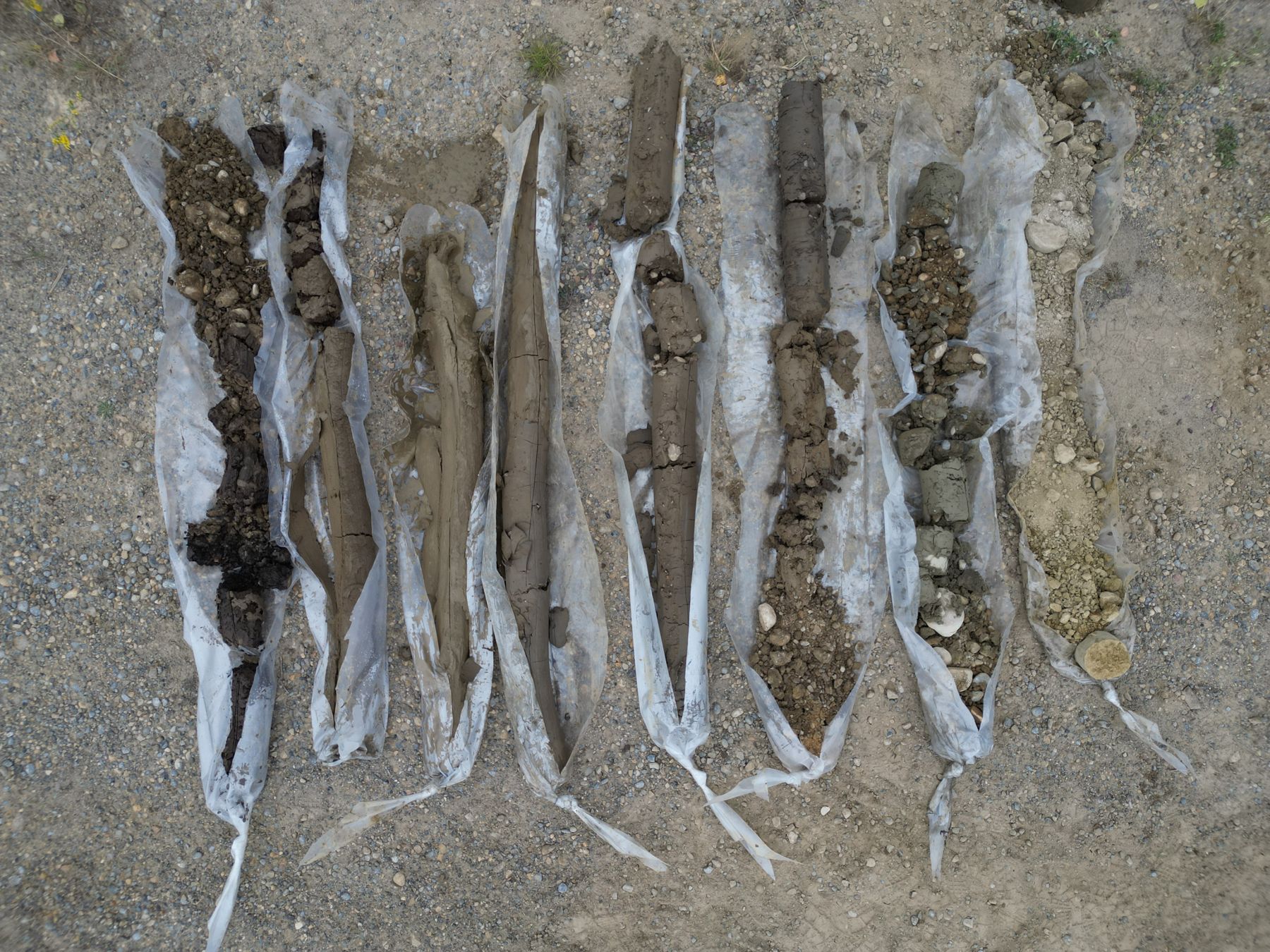
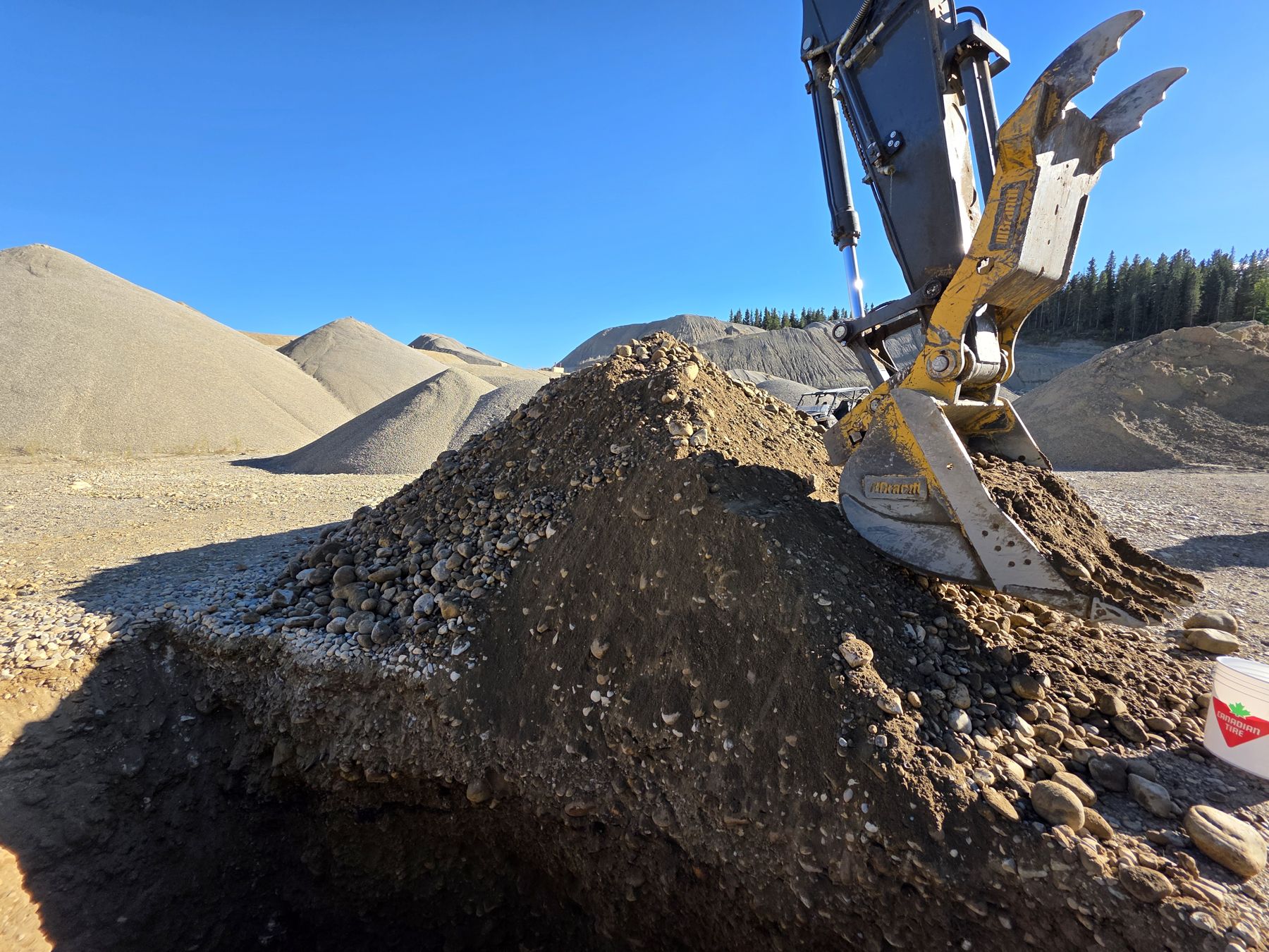
Desktop source assessments with our own tools, then test pitting, sampling and gradation testing to find deposits and prove them up.
Code of Practice registrations, Activities Plan updates, 5-Year Reports, CORPs, Surface Material Lease work and Water Act approvals.
Conservation and reclamation plans for new and operating pits, and the security estimates that go with them.
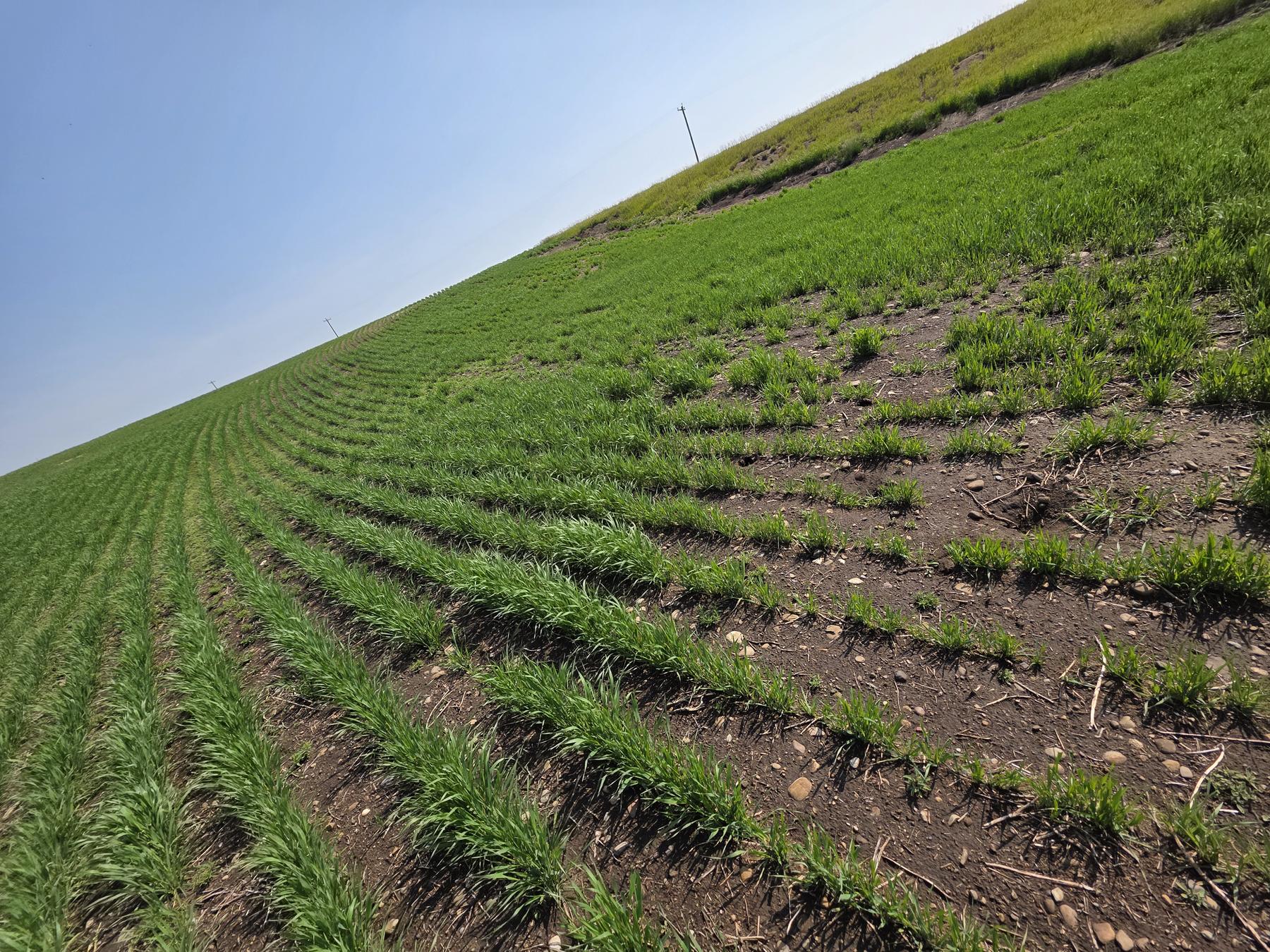
Pre-disturbance soil surveys and post-reclamation field assessments required for certification.
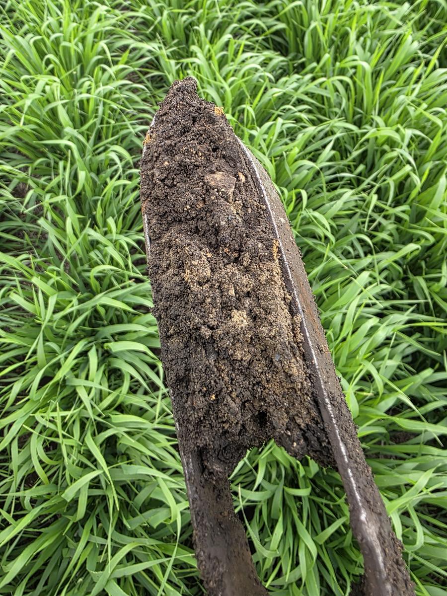
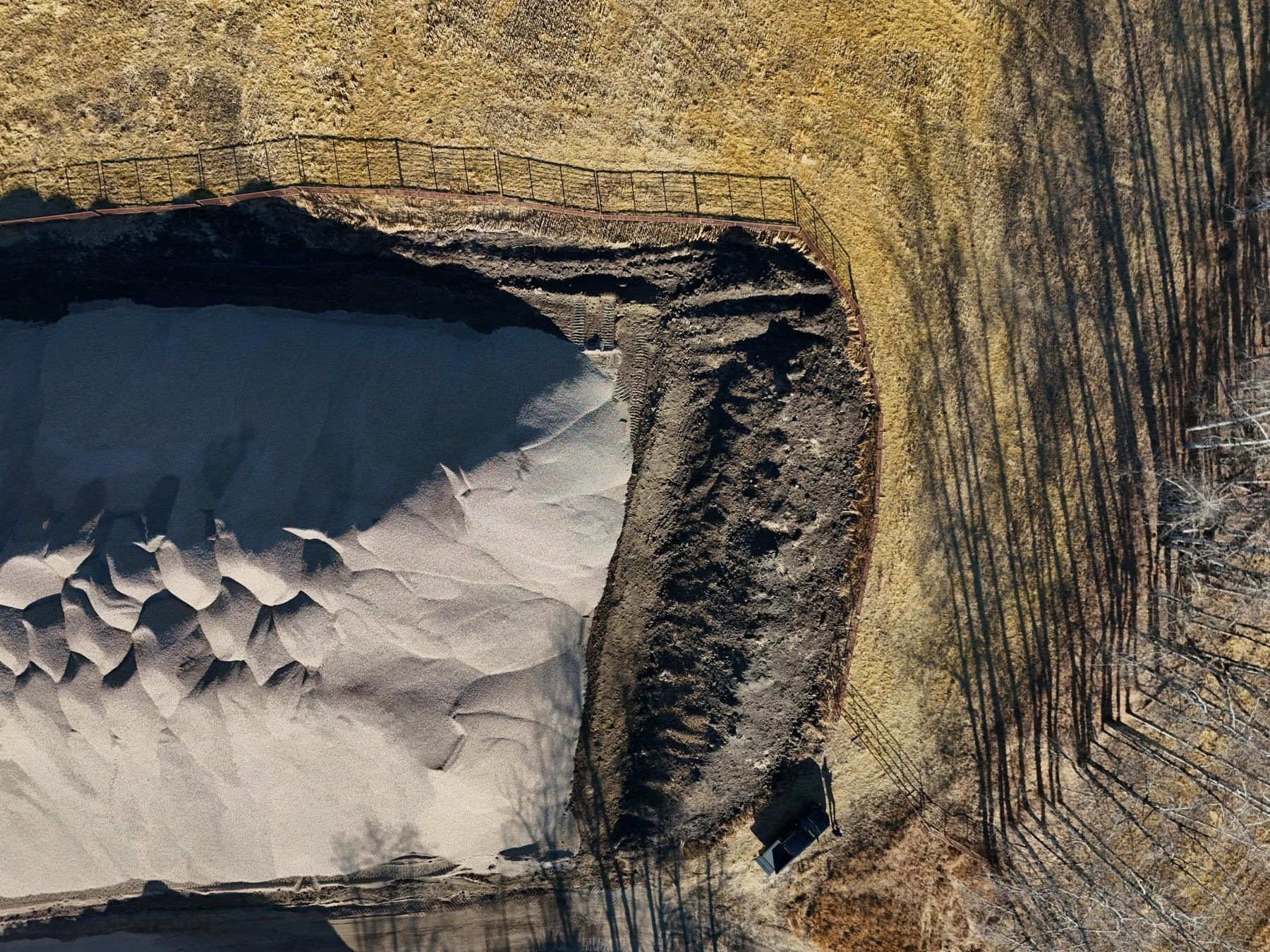
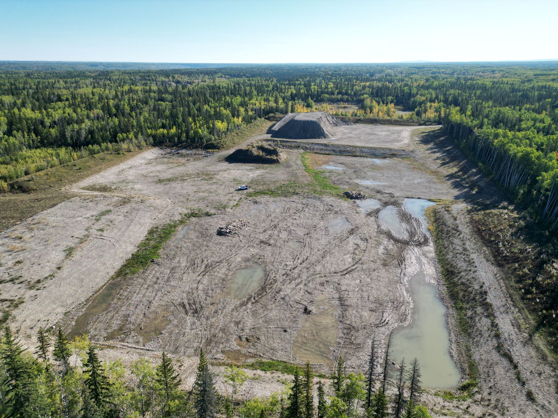
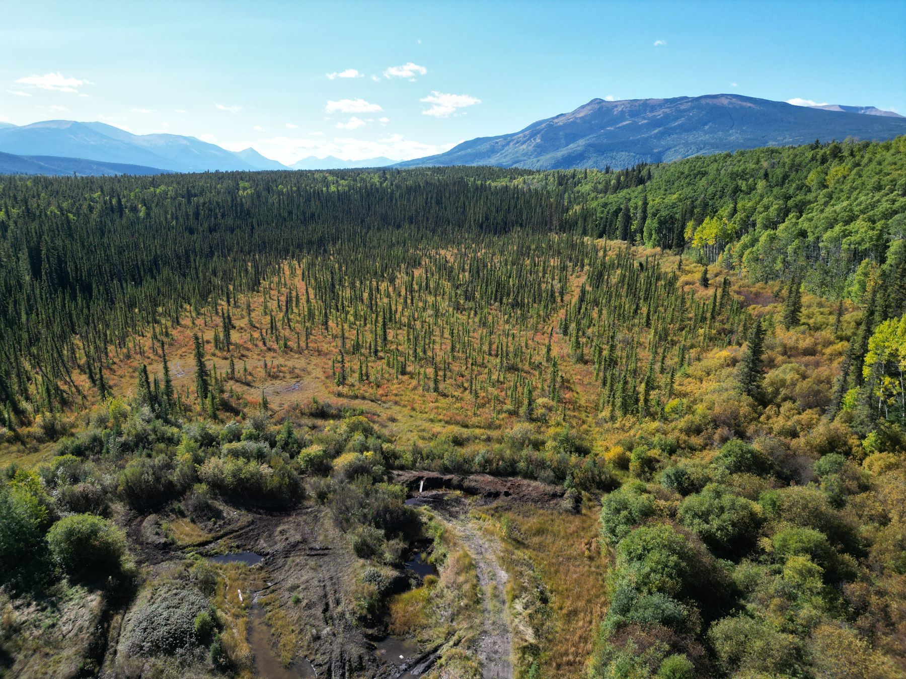
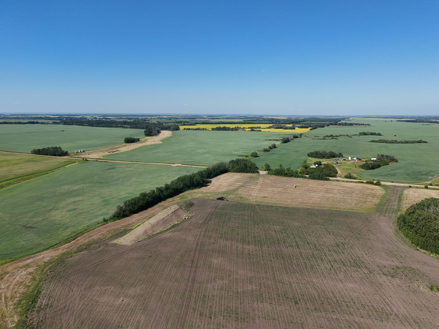
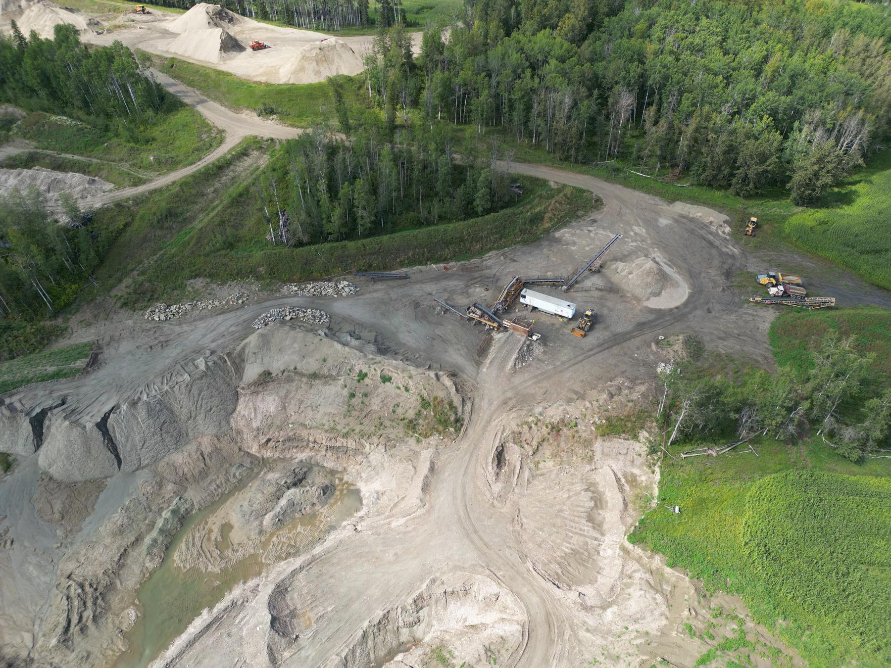
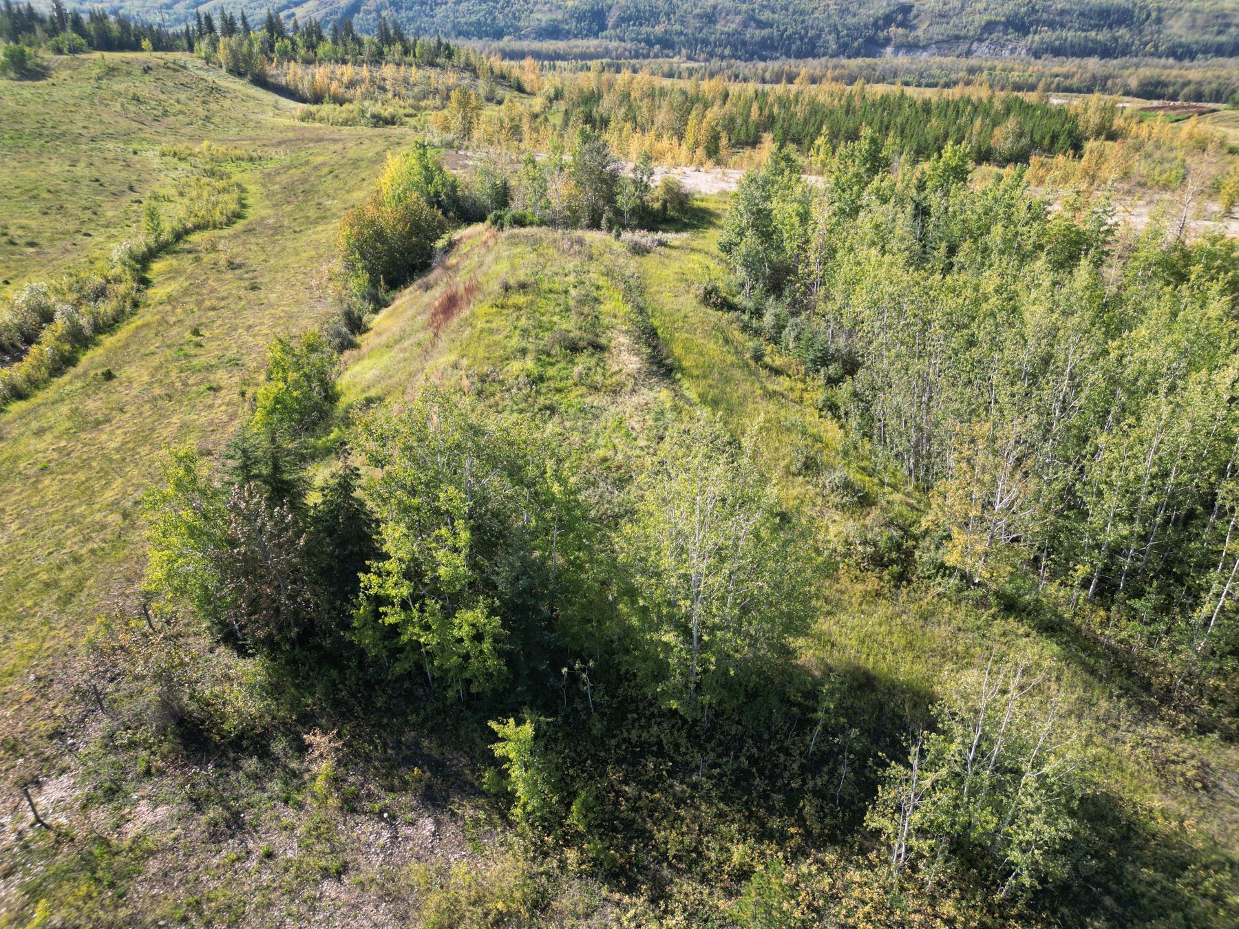
Our own certified pilots fly surveys for stockpile volumes, orthomosaics, elevation models, bathymetry, site plans and report figures.
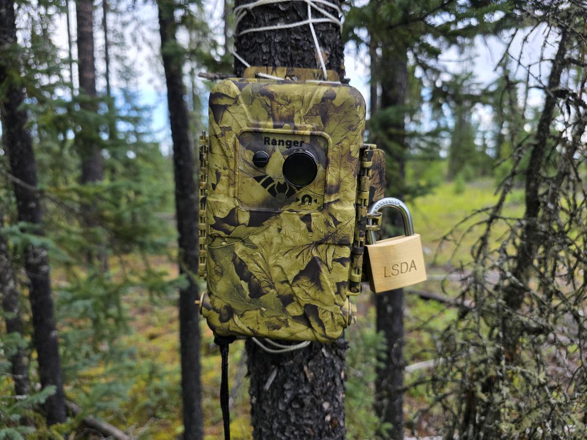
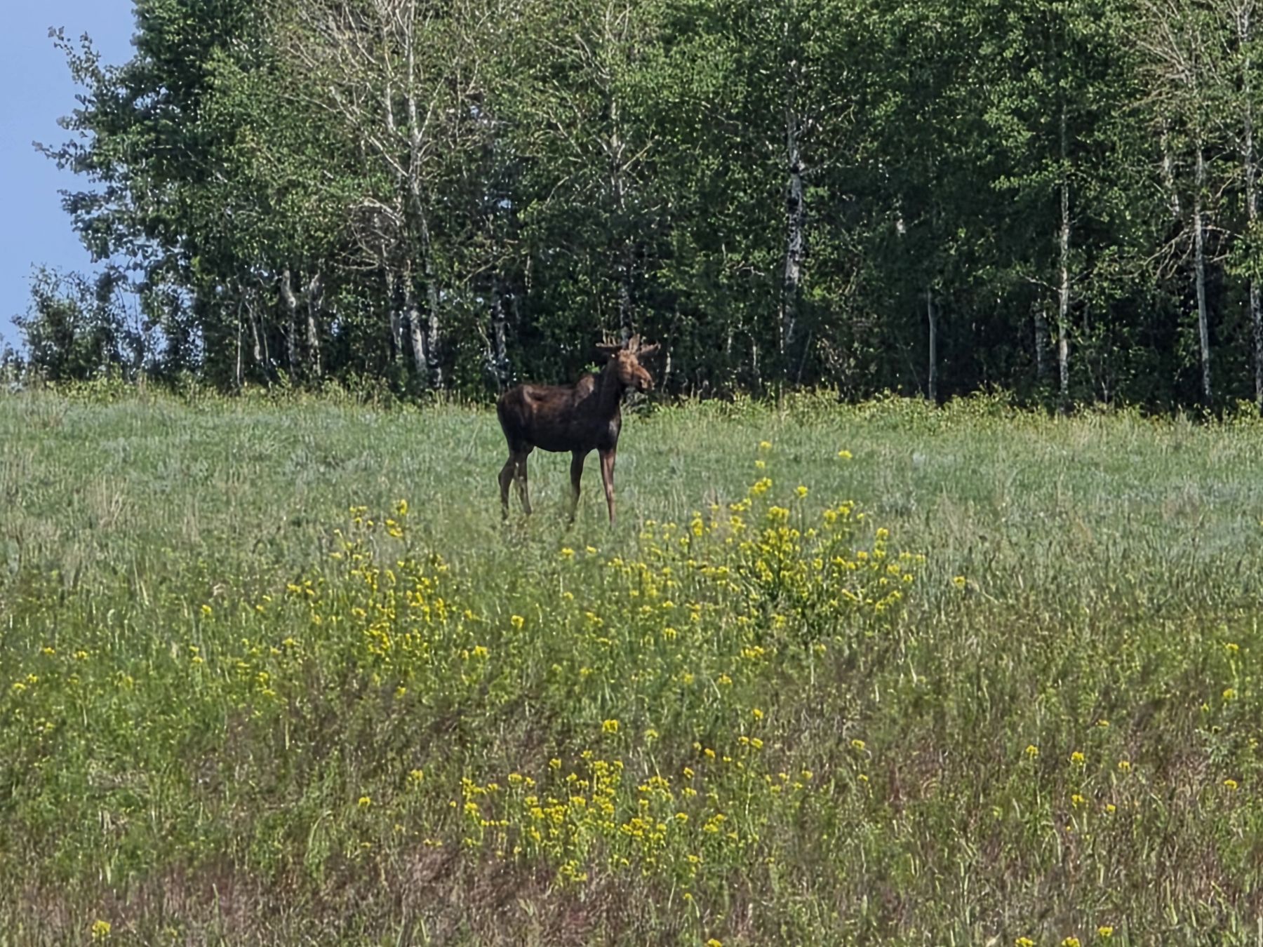
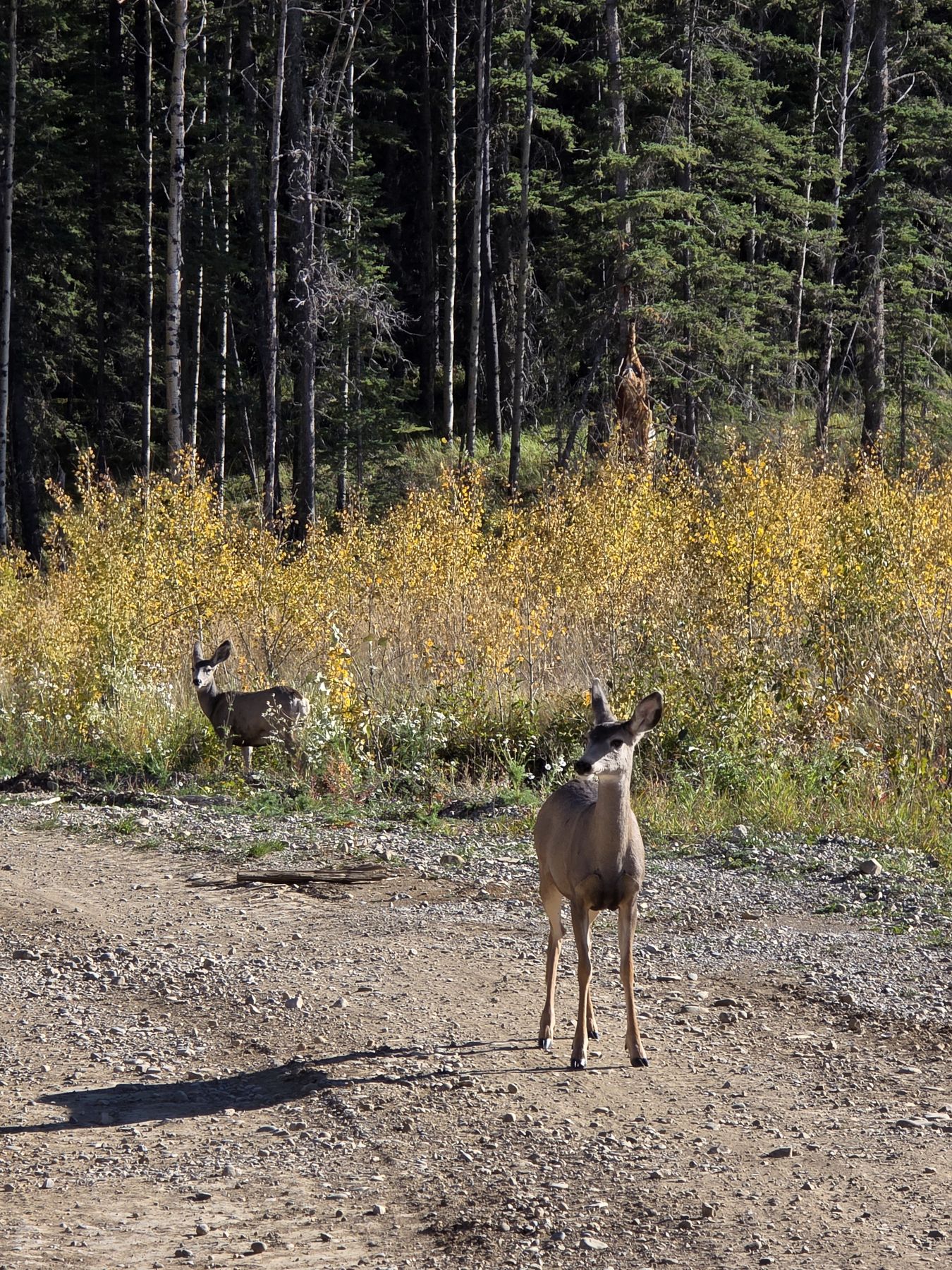
Pre-disturbance wildlife sweeps, species surveys, acoustic bat monitoring and wetland assessments.
In-house
We keep field work, drone survey and GIS in-house. The person who walked your site is usually the one processing the data and building the figures, so the report matches what's actually on the ground.
A Professional Agrologist for soils and reclamation, Certified Engineering Technologists on the aggregate side, and a Biologist in Training for wildlife and wetlands.
Test pitting and drilling programs, wildlife sweeps and reclamation assessments, run by our own staff.
Orthomosaics, elevation models and stockpile volumes processed in Agisoft Metashape.
Drone survey, site plans, volumetric estimates and report figures in ArcGIS Pro.
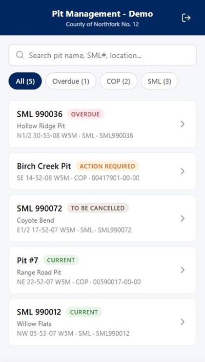
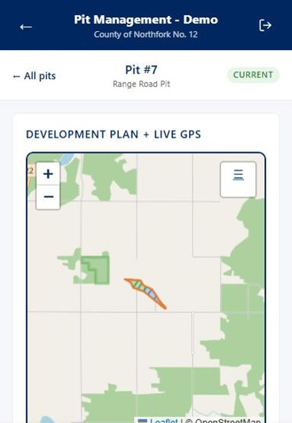
Software we build ourselves to keep every pit's dates, inspections and reports in one place.
Tools
Municipal or private, every pit answers to the same regulations. The hard part is keeping renewals, reports and inspections on schedule across a whole portfolio of sites. We built software to handle that for our own work, and our clients use it too. It runs on a phone or a desktop, works offline, and is simple enough to pick up without a training session.
For municipalities and operators
Every pit in one place: approvals, renewal dates, reporting deadlines, development phases, site issues and photos. We built it, we maintain it, and we use it on the pits we manage ourselves.
For pit operators
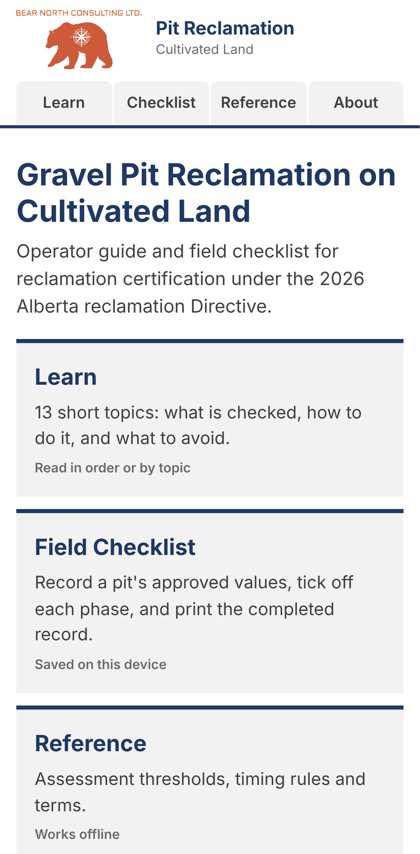
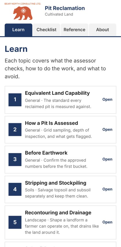
A free field guide and checklist for operators reclaiming pits on cultivated land under Alberta's 2026 reclamation criteria. It walks through what gets assessed, how to do the work right the first time, and what it takes to get certified.
 Scan to open on your phone
Team
We're a small and capable team. The people who scope your project are the same people out in the field and signing the report, so you deal with the same faces from start to finish.
Co-owner · Aggregate Specialist
Jennifer has more than 17 years in aggregate consulting across Alberta and Western Canada. She started out in environmental site assessment and upstream oil and gas before moving into aggregate. On most Bear North projects she's the person you'll hear from: she manages the project and writes most of the regulatory work, including Code of Practice registrations, Conservation, Operation and Reclamation Plans, Surface Material Lease and Water Act applications, and reclamation certificate applications.
Her background is in hydrogeology, so groundwater, dewatering, wash water and end pit lakes are familiar ground. She has run exploration programs from the first desktop search through confirmatory drilling, and kept municipal and private pits compliant through 5-Year Reports and liability estimates. Jennifer holds a Hydrogeological Technology diploma from NAIT and is a Certified Engineering Technologist with ASET.
Co-owner · Soil Scientist and Reclamation Specialist
Steve has more than 20 years in soil science, terrain assessment and reclamation across Alberta and Western Canada. Before aggregate became his focus, he worked on oilsands, pipeline, mining and infrastructure projects, from pre-disturbance assessments through construction monitoring and environmental assessment. At Bear North he's the soil scientist and GIS lead, and the primary author on reclamation certificate applications, Code of Practice registrations, 5-Year Reports and pit plan amendments.
He also runs the drone and mapping side of the business and builds the pit tracking software the team and its clients use. Steve holds a B.Sc. in Land Reclamation from the University of Alberta and has been a Professional Agrologist with the Alberta Institute of Agrologists since 2010.
Project Manager · Aggregate Specialist
Aaron knows the work from the client side. Before joining Bear North in 2026, he spent 15 years running aggregate operations for an Alberta county: managing pits producing more than 100,000 tonnes a year, administering the operating and consulting contracts, and coordinating development and reclamation with regulators, contractors and consultants.
From an earlier career in survey and civil design, he brings survey, AutoCAD Civil 3D and GIS skills: pit plans, grading plans, surfaces, cross-sections and volume calculations. At Bear North he leads project delivery, from testing programs through pit operations and reclamation planning. Aaron is a Certified Engineering Technologist with ASET and an Environmental Professional in Training with ECO Canada.
Ecologist · Field Lead
Nicole leads much of Bear North's field work. She assists on the soil, vegetation and terrain assessments behind reclamation certificate applications, Code of Practice registrations, CORPs and 5-Year Reports, and runs aggregate testing programs. She also flies drone surveys and produces mapping and figures in ArcGIS Pro.
On the biology side, Nicole conducts pre-disturbance wildlife sweeps, acoustic bat monitoring, winter mammal tracking surveys, and wetland delineation and classification. Before Bear North she worked in forestry, reclamation research, and vegetation assessment on oil and gas sites. She holds a B.Sc. in Ecology from the University of Calgary and a Certificate in Sustainability Studies from the University of Alberta, and is a Biologist in Training with the Alberta Society of Professional Biologists.
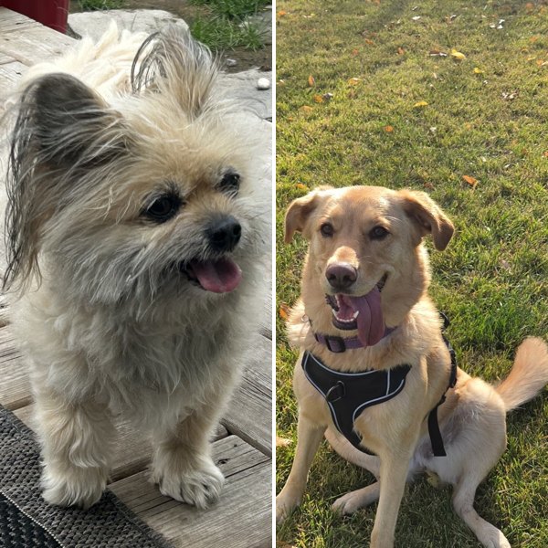
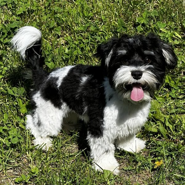
Team pets
Field notes
Contact